Sentinel-1 IW SLC Burst Structure
TIL that a Sentinel-1 IW SLC product is internally organized into sub-swaths and bursts, and the usual processing steps like deburst, swath merge, and terrain correction directly follow that structure.
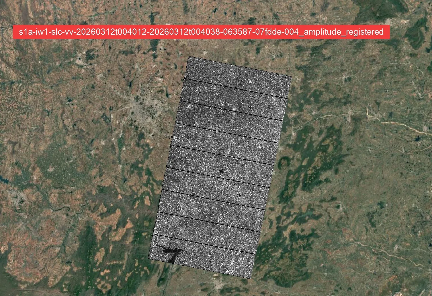
Logical internal picture: 1. full product contains 3 sub-swaths 2. each sub-swath contains many bursts 3. each burst is focused separately 4. black gaps appear at burst boundaries in raw SLC layout 5. deburst turns each sub-swath into one continuous strip 6. swath merge joins the 3 continuous strips 7. terrain correction maps radar geometry to Earth coordinates
ESA’s official IW GRD HR numbers are about 20 x 22 m resolution with 10 x 10 m pixel spacing.
ground-range pixel spacing = slant pixel spacing / sin(incidence)
ground-range resolution = slant-range resolution / sin(incidence)
c = 299792458 m/s
slant-range resolution = c / (2 * range processing bandwidth)
| Swath | Slant px spacing (m) | Az px spacing (m) | Incidence (deg) | Range BW (Hz) | Slant-range res (m) | Ground-range px spacing (m) | Ground-range res (m) |
|---|---|---|---|---|---|---|---|
| IW1 | 2.329562 | 14.02222 | 34.131517 | 56500000 | 2.653031 | 4.151818 | 4.728314 |
| IW2 | 2.329562 | 14.00370 | 39.486680 | 48300000 | 3.103442 | 3.663416 | 4.880402 |
| IW3 | 2.329562 | 13.98353 | 44.098260 | 42789918.40322842 | 3.503073 | 3.347596 | 5.033940 |
IW2 example
From /root/cdse-full-product-output/S1A_IW_SLC__1SDV_20260312T004011_20260312T004038_063587_07FDDE_0B84.SAFE/annotation/s1a-iw2-slc-vv-20260312t004011-20260312t004036-063587-07fdde-005.xml:2420:
- pixelValue = Complex
- rangePixelSpacing = 2.329562
- azimuthPixelSpacing = 14.00370
- numberOfSamples = 25350
- numberOfLines = 13572
- incidenceAngleMidSwath = 39.48667969731277