Talks & presentations
Conference presentations, technical talks, workshops and educational content around geospatial technology, remote sensing and applied AI. I conduct hands-on training through Anek Labs — recordings are on my YouTube channel.
October 2026
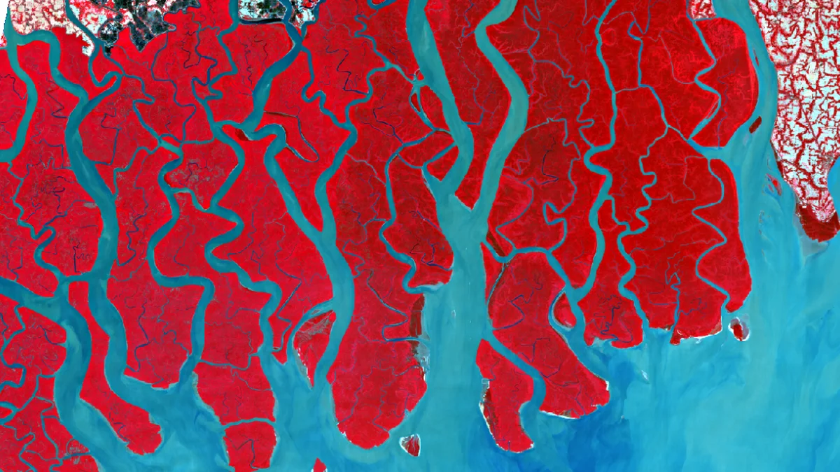
Introduction to Cloud Native Geospatial
A tutorial at NMIT Bangalore: a Sentinel-2 image from COGs, Fields of the World boundaries from GeoParquet with DuckDB, and AlphaEarth embeddings from Zarr, reading only the bytes needed.
cloud nativeearth embeddingsworkshop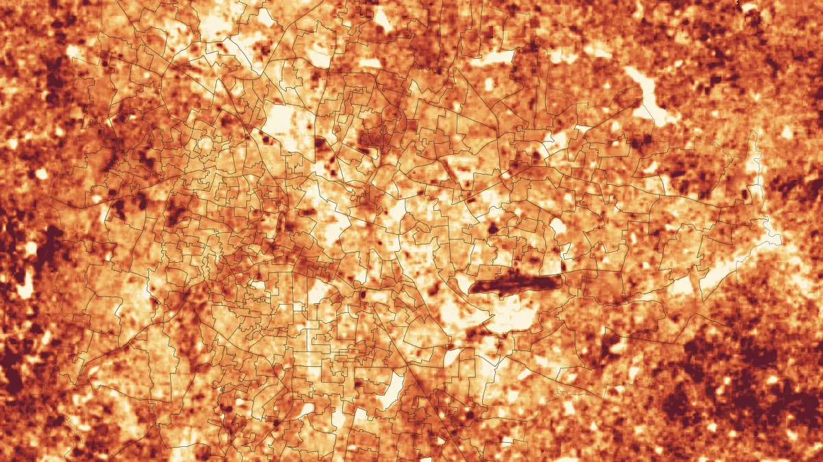
October 2026
Urban heat risk monitoring
A hands-on workshop at BNMIT: Landsat and MODIS heat, tree canopy and people for Bengaluru's 369 wards, a heat-risk map and a local early-warning scale.
urban heatearly warningworkshop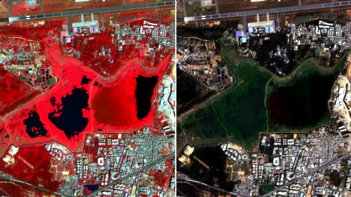
October 2026
Cloud-native data and Earth embeddings
A hands-on workshop at RV College of Engineering: STAC, COGs, Zarr and GeoParquet, then AlphaEarth and TESSERA embeddings, following one lake in Bengaluru.
cloud nativeearth embeddingsworkshop
September 2026
Agentic AI for Earth Sciences: From Maps to Decisions
A BNMIT talk on Earth-observation embeddings, forecasting, and agentic geospatial workflows.
earth observationmachine learningagentic AI
June 2026
Google Earth Engine — Nitte Workshop
A hands-on, browser-only introduction to Google Earth Engine.
google earth engineremote sensingworkshop
April 2026
Sentinel-2 Super-Resolution
Benchmarking deep learning models for 10m to 2.5m upsampling.
remote sensingdeep learningsuper resolution
November 2023
Sentinel-1 Image Analysis: Flood Detection using Cloud Native Tooling
deep learningSARpython
June 2023
Data Jam Presentation organised by WRI and opencity
google earth
September 2021
Mechanistic Approach for the Design of Surface Drainage System of Roads
This script downloads SMAP L3 data and computes the soil moisture time series for specified region.
Remote SensingPythonQGIS
July 2019
Feasibility Study of Floating Solar Panels over Lakes in Bengaluru City
ASCE India Conference 2019
Data AnalysisPythonWorkshops & trainings
| Date | Venue | Topic | Resources |
|---|---|---|---|
| Oct 2026 | NMIT Bangalore | Introduction to cloud-native geospatial: satellite images, field boundaries and Earth embeddings read straight from the cloud | Notebook · Slides · Download .py |
| Oct 2026 | BNMIT | Urban heat risk monitoring: satellite heat maps and ward alerts for Bengaluru | Workshop · Repo |
| Oct 2026 | RV College of Engineering | Cloud-native data and Earth embeddings | Workshop · Repo |
| Sep 2026 | BNMIT | Agentic AI for Earth Sciences: From Maps to Decisions | Slides |
| May 2026 | MVIT | Guest talk on geospatial AI workflows | Canva |
| Dec 2025 | BNMIT | Satellite embeddings as an abstraction layer over L2 products | Canva |
| Nov 2025 | NIE Mysuru | Introduction to Geospatial AI, remote sensing, STAC data access, and instance segmentation | Repo · Slides · Colab |
| Sep 2025 | BNMIT | Machine Learning for Climate Science: satellite imagery, flood monitoring, and forecasting | Slides |
| Aug 2025 | NITK Karnataka | Geospatial data download over space and time using IMD rainfall data and Copernicus CDSE | Repo · Slides |
| Mar 2025 | BNMIT | Google Earth Engine for climate workflows | Video · Slides |
| Dec 2024 | NMIT Bangalore | GeoPython and why this is a strong time to work in the geospatial industry | Slides |
| Aug 2024 | Let's Talk Spatial | QGIS for beginners | Video |
| Nov 2023 | FOSS4G Asia, Seoul | GeoPython workshop and Sentinel-1 flood detection using cloud-native tooling | GeoPython repo · Flood mapping repo |
| Oct 2023 | Let's Talk Spatial | Introduction to Planetary Computer and STAC API | Video |
Recorded videos
Monitoring Inland Water Bodies — FOSS4G Prizren 2023
GeoPython Workshop — IEEE GRSS GTSD Hackathon 2023
Introduction to Planetary Computer and STAC API — Let's Talk Spatial
QGIS for Beginners — Let's Talk Spatial